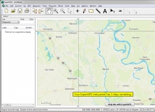
Plan your trips using accurate GPS maps, with the help of GPS receivers.
The application allows you to analyze several forms of distance sampling data.
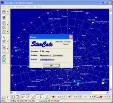
A professional astronomy planetarium and star mapping program.
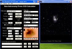
You can visualize how a telescope or a camera work together to image the sky.
Allows you to measure quickly and accurately distances, areas and perimeters.